
Drexel and White Clay Watershed Association Partner to Model Flood Risk and Build Climate Resilience

White Clay Creek Flood Study Coverage Area
Drexel University and the White Clay Watershed Association (WCWA) have launched a new partnership to better understand—and ultimately help mitigate—the increasing threat of flooding in the White Clay Creek watershed. The effort brings together Drexel’s engineering and modeling expertise with WCWA’s deep community ties and environmental leadership in the region.
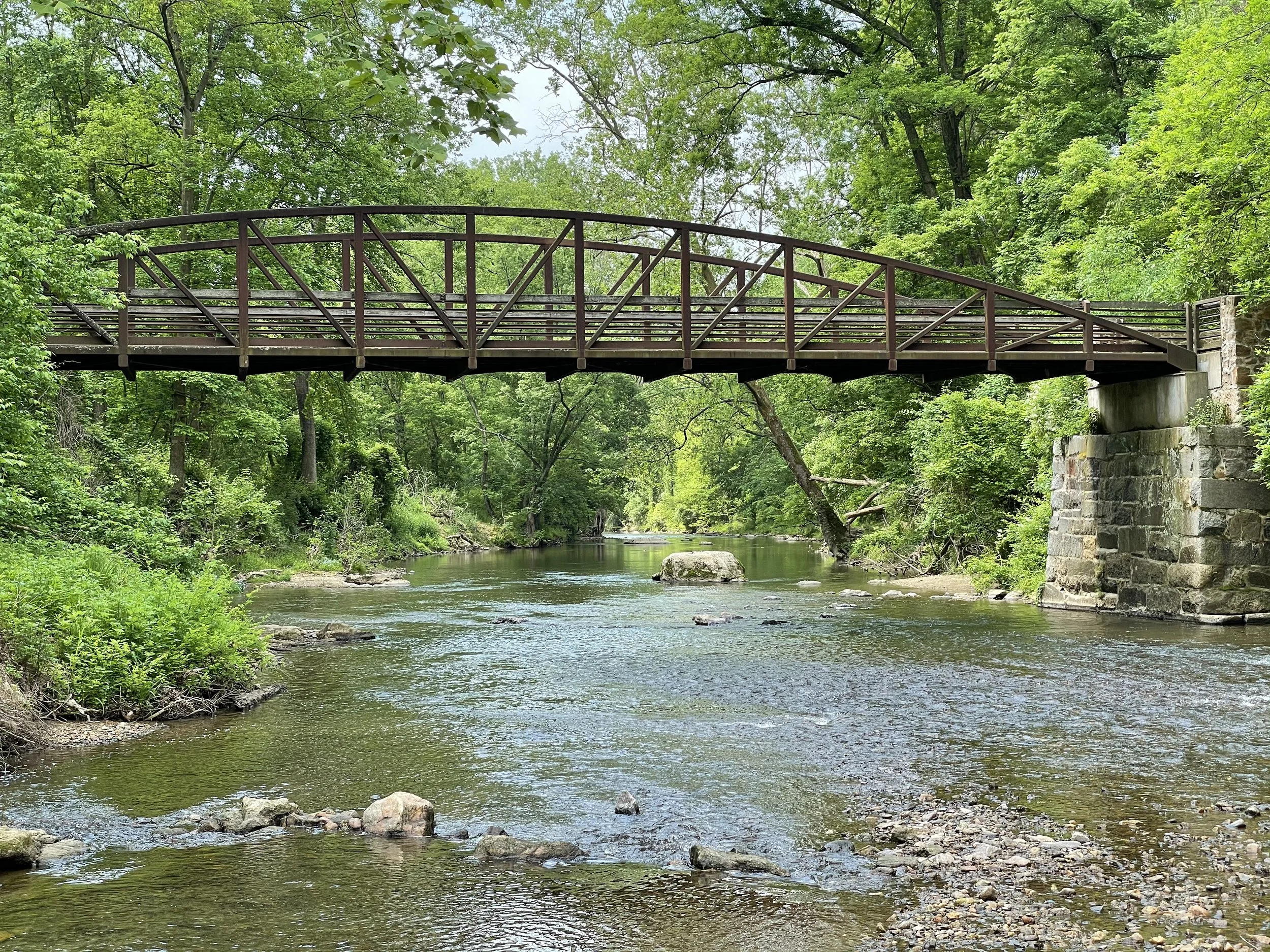
Designated a National Wild and Scenic River, the White Clay Creek watershed spans 14 municipalities across Pennsylvania and Delaware, supporting a diverse ecosystem as well as thousands of residents. But with more frequent and intense storms driven by climate change, the region faces growing risks to homes, roads, and other critical infrastructure.
Under the leadership of civil and environmental engineering professor Franco Montalto, PhD, the Drexel team will develop a dynamic flood model that simulates current and future flood scenarios based on land use, rainfall intensity, and infrastructure conditions. The model will be used to identify flood-prone areas, evaluate green infrastructure and mitigation options, and engage local governments and residents in long-term planning efforts.
“This is a powerful example of how academic research and community stewardship can come together to address urgent climate challenges,” said Montalto. “Our goal is to give municipalities and residents the tools they need to make informed, forward-looking decisions about how to manage flood risk—not just for today, but for the decades ahead.”
In addition to a region-wide hydrologic and hydraulic model, Drexel will also develop an interactive tool using Stella software to make complex flood risk data more accessible to non-technical audiences. Through workshops, trainings, and collaborative scenario planning, the team aims to support local decision-makers in building a more resilient watershed.
The project is expected to run through September 2026.
Flood Study Main Goals
Create a detailed flood model to predict different levels of flooding, from smaller storms to extreme events.
Understand and explain flood risks to local communities and decision-makers.
Identify and recommend solutions to help the watershed, local communities, landowners, and government agencies make informed decisions on the best ways to reduce flood risk.
Project Tasks and Timeline
SPRING 2025 - FALL 2026
Stakeholder Engagement & Collaboration (On-going)
Spring - Summer 2025
Project Initialization & Data Collection
Summer - Fall 2025
Model Development and Validation
Winter - Spring 2026
Scenario Analysis & Flood Risk Assessment
spring - Summer 2026
System Dynamics Modeling
Summer - Fall 2026
Final Reporting & Project Close Out
Upcoming Public Meetings
August 26th, 2026 at 6pm - White Clay Flood Study Public Meeting held at Stroud Water Research Center. Agenda and Registration Coming.
PAST Public Meetings
February 25th, 2026 at 6pm - White Clay Flood Study Public Meeting held at Stroud Water Research Center.
Meeting Summary:
Introduced the flood study, which will develop a watershed-wide flood model to better understand current and future flood risks and help inform mitigation strategies.
Reviewed factors contributing to increased flooding, including development in floodplains, increased impervious surfaces, undersized infrastructure, and more intense rainfall events.
Presented the hydrologic and hydraulic model (PCSWMM) being developed using watershed characteristics, rainfall data, and streamflow observations from multiple sources.
Shared early calibration and validation results showing the model can replicate observed flood events, including Tropical Storm Isaias, Hurricane Ida, and the July 2025 storm.
Discussed next steps, including running future storm scenarios, identifying flood-prone areas, evaluating mitigation strategies, and continuing stakeholder engagement.
Asked attendees to share any flooding photos (past or future) by uploading them to Chester County’s Floodspotter. Both PA and DE residents can contribute photos.
Subscribe below for news and updates, or check our Events calendar for future meeting notices.
Help us spread the word! Click here to access our Flood Study Communications Toolkit for shareable resources about the flood study and public input tools, including printable flyers, digital graphics, promotional copy, and more.
Project Partners
Led by:
Drexel University and White Clay Watershed Association
Additional partners include:
Chester County Water Resources Authority, Stroud Water Research Center, University of Delaware, Brandywine Conservancy, and the Water Center at Penn.
Funders
National Park Service, White Clay Watershed Association, Chester County Water Resources Authority (PA), Veolia (DE).
Contact Us!
For more information about the White Clay Creek Flood Study, including progress updates and notifications about upcoming public meetings, please subscribe below for news and updates. You can also contact us directly at contact@whiteclay.org.