News

Will The White Clay Run Silver Again?

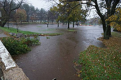
It’s a good year to be a fish. In fact, plans are well underway for the partial removal of a historic dam along the White Clay Creek. This dam, known as Dam #1 or the Byrnes Mill Dam, is located on the White Clay Creek Country Club golf course at Delaware Park. It’s the most downstream dam on the Wild and Scenic River, a little over four miles from the mouth of the creek. When it’s completed, this project will mark the first dam removal for fish passage in the entire state of Delaware!

Shad

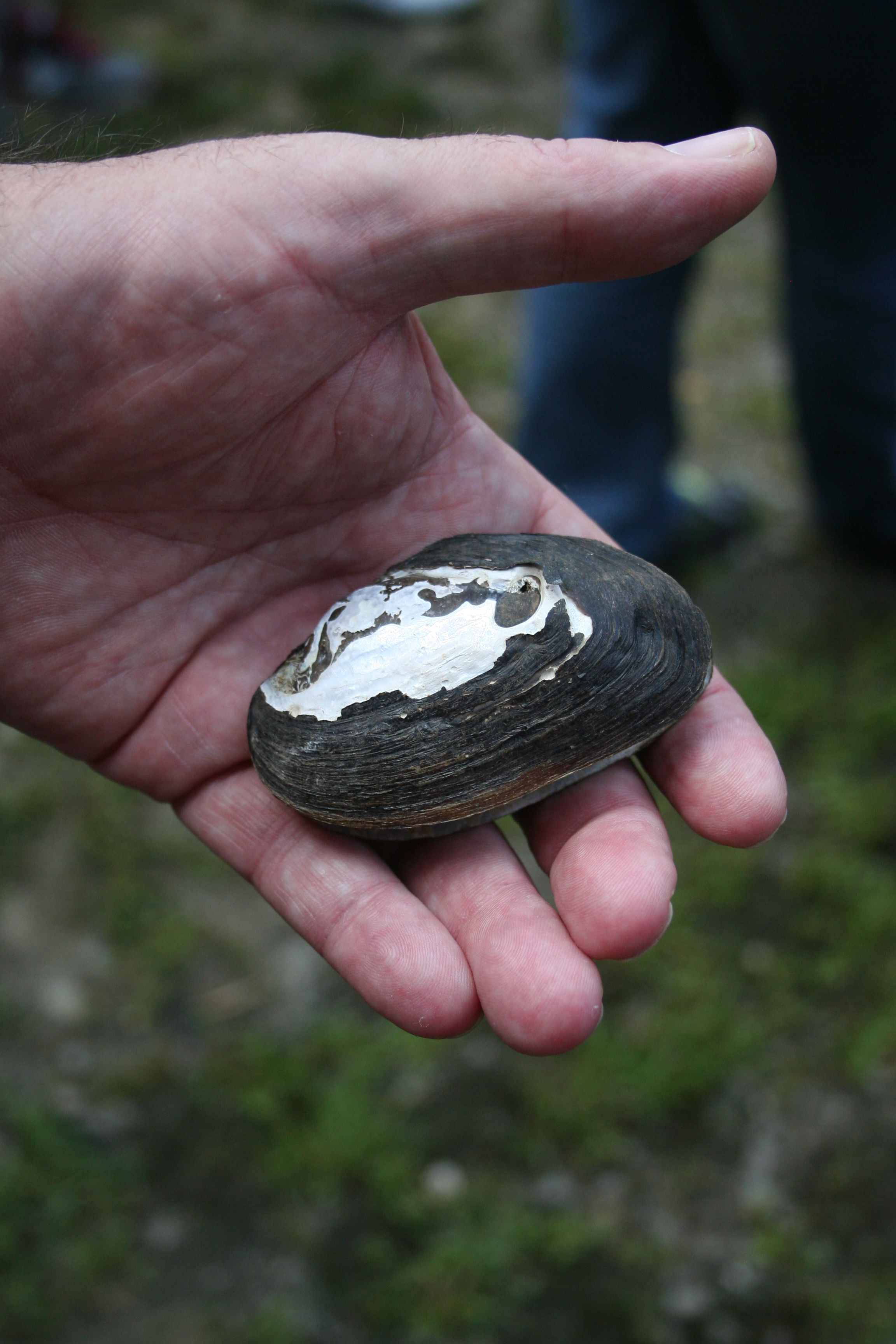
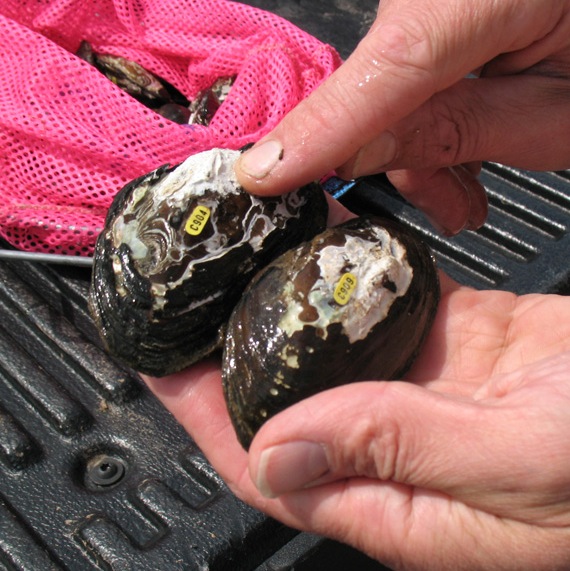
The main goal of removing this dam is to restore fish passage up the creek. Specifically, this dam is blocking the upstream movement of American and hickory shad, fish with a long history in the region. Shad are anadromous fish, meaning that they live in the ocean but spawn in freshwater streams and rivers. The American shad measures about two feet long. The hickory shad is slightly shorter and can be distinguished by its protruding lower lip. Shad are affectionately referred to as America’s “founding fish” because they were a main source of food for General George Washington’s troops during their long winter at Valley Forge. However, because shad can't "jump" like salmon can, they have been barred from their traditional spawning grounds by even low lying dams like Byrnes Mill Dam, which are scattered throughout the region.

Dam No.1

Byrnes Mill Dam is currently obsolete and its north side has already been breached by large storms like Hurricanes Floyd and Irene, but it does have historic significance in our area. The University of Delaware Center for Historic Architecture and Design estimates that this dam was constructed during colonial times (between 1773-1777) to divert water to a mill at the historic Hale Byrnes House. Mills were operating along the White Clay Creek by the early 1700s, typically grist (grain) and sawmills. These mills were a cornerstone of the early American economy. Grain from the mill associated with this particular dam supplied George Washington's troops on their march from the Battle of Cooch's Bridge near Newark to the Battle of the Brandywine near Chadds Ford, PA during the Revolutionary War. Byrnes Mill Dam is a variation of a plank crib dam (shown in the picture below). 

Plank Crib Dam

Once the historic permits are received, construction on the dam will begin in early winter of 2014. Only a 40 foot portion in the middle of the dam is to be removed, which will allow for increased fish passage upstream (3.5 stream miles) without compromising the site's historical significance or drastically increasing the erosion of the stream bank. In addition to the partial dam removal, the plan also includes tree plantings along the stream bank, debris removal, and rock re-positioning to improve bank stability and restore the floodplain. Educational signage will also be installed to inform visitors about the historic dam and the restoration process. 

Byrnes Mill Dam is only one of seven dams along the Delaware portion of White Clay Creek slated for partial or total removal. Future studies for dams 2 (along Red Mill Road) and 3 (downstream of Paper Mill Road) have already been funded. Removal of these dams not only benefits fish passage by opening up stream miles for shad and other anadromous fish, it also contributes to making the White Clay Creek more reminiscent of its wild and free flowing historic state when the upstream stretches were said to 'run silver'. Stay tuned to learn about volunteer opportunities and become a part of White Clay history!

WCC Dams

 Note: The University of Delaware’s Water Resources Agency has served as the head of this project, which has been in the works for several years now. Funding and support have been provided by the National Fish and Wildlife Foundation, the FishAmerica Foundation, NOAA, and American Rivers. Other partners include DNREC, the New Castle County Conservation District, the Brandywine Conservancy, the Christina Conservancy, the University of Delaware Center for Historic Architecture and Design, the White Clay Creek Country Club, the White Clay Wild and Scenic Management Committee, the Historic Hale Byrnes House, and New Castle County. Click here to learn more about Shad Restoration and Dam Removal in the White Clay.

Adding 'Mussel' to Strengthen the White Clay!

'Planting' mussels in the White Clay Creek. © 2013 Tom Hubbard United Water Delaware

Watersheds have many unsung heroes. One of those heroes is the mighty freshwater mussel, a tiny creature with the capacity to provide significant water quality benefits. Despite their importance to natural aquatic ecosystems, mussels are among the most imperiled animals in both the Delaware River Basin and the nation as a whole. Their decline in (and in some cases, disappearance from) our waterways has prompted the Partnership for the Delaware Estuary to launch a Freshwater Mussel Recovery Program (FMRP), with efforts targeted in the White Clay Creek watershed.

A representative shell of the eastern elliptic, a freshwater mussel found along the banks of the Brandywine Creek. Source: Shane Morgan White Clay Creek Wild and Scenic Program.

Freshwater mussels are long-lived, bivalve creatures that once thrived in many of the major streams in northern Delaware and into Pennsylvania. Twelve species of freshwater mussels are considered native to the White Clay Creek region, and at least four of these species could still be found in the upper reaches of the Creek as recently as the early 1900s. These animals require a fish host during the early stages of their lives, which makes the presence of mussels in a stream a powerful indicator of healthy aquatic conditions.

Mussels don’t just indicate good water quality, though; they actually contribute to it. According to the Partnership for the Delaware Estuary (PDE), a nonprofit organization dedicated to protecting the health and integrity of the Delaware Estuary ecosystem, a single adult mussel can filter suspended sediment and pollution from up to 15 gallons of stream water per day! In the neighboring Brandywine Creek watershed, surviving mussel populations filter out as much as 25 tons of suspended pollution every year. That's equivalent to about 3 dump trucks full of dirt!

These tanks, filled with water from the same source, show how mussels can filter the water. The tank on the right has mussels. The tank on the left doesn't. © 2013 Virginia Polytechnic Institute and State University

Unfortunately, all across the country mussel populations are in jeopardy, and the Christina River Basin is no exception. In the past decade, only one species of freshwater mussel has been found above the tide line in Wilmington. According to PDE, reasons for the decline are numerous, and may include overall impaired water quality from changing land uses, overharvesting and predation, and the loss of the species of fish that mussels rely on as hosts, and dams that block fish passage.

To help bring freshwater mussels back to their native waters, PDE has implemented a Freshwater Mussel Recovery Program in the Delaware portion of the White Clay Creek. This program is funded in part by the Delaware State Tax Check-Off (also known as the White Clay Creek Restoration Fund). The first step in this initiative was to survey the streams in the watershed to search for existing mussel populations. This surveying, completed in May 2013, spanned more than 4,000 stream meters and took roughly 20 person hours to complete. Unfortunately, the researchers came back empty handed with no mussels found in the non-tidal portions of the creek in Delaware.

Freshwater mussel, Elliptio complanata, with tags in place. © 2013 Tom Hubbard United Water Delaware

The good news, though, is that this isn’t where the story ends for freshwater mussels. Phase II of PDEs recovery initiative involves transplanting about 200 healthy adult mussels from the Brandywine Creek to carefully selected areas within the Delaware portion of the White Clay Creek. These mussels were reintroduced during the summer of 2013 and each mussel was electronically tagged so that they can be easily located and studied over the following year to measure the success of the reintroduction. Whether these species can withstand the erosive forces of excessive stormwater and flooding, as well as the pollutants carried in stormwater runoff, remains to be seen. Success or failure aside, information derived from this study will benefit future freshwater mussel restoration efforts.

PDEs Freshwater Mussel Recovery Program is an exciting initiative for the White Clay Creek watershed. Not only will restoring mussel populations contribute to local biodiversity and water quality improvements, it will also help add a bit more “wild” to this already Wild and Scenic River.

Freshwater Mussels Update 2014

For more information, visit the PDE website at:  http://www.delawareestuary.org/freshwater-mussels.

Help search the White Clay for existing mussel populations. Learn more about volunteer opportunities here.

Reduce Runoff; Slow It Down, Spread It Out, Soak It in! Swift Park Vegetated Swales.

With the help of New Castle County workers and numerous volunteers, Swift Park, located in Hockesssin, Delaware off of Old Lancaster Pike, now has two vegetated swales leading to a small tributary of the White Clay Creek. Vegetated swales are a type of BMP (Best Management Practice) as stated by the EPA (Environmental Protection Agency) and serve many purposes, its biggest contribution being to help better manage the stormwater runoff that can contaminate your drinking water.

What's the big deal? Water is everywhere. In fact, the earth is comprised of over 70% water. The problem, less than 1% of that is safe drinking water! This is where BMPs and stormwater management become incredibly important to protecting water quality and quantity, not only for today, but for future generations.

The swales at Swift Park were originally installed to help with stormwater runoff coming from the impermeable surface area of the paved parking lot adjacent to Mill Creek. The original swales were lined in turf grass and mowed on a regular basis, with the main function being to convey water away from the parking area and into the creek. While this is good for parking, this does little to help with water quality. A better way to use these swales is to vegetate them with a native plant community, and that is what the White Clay Wild and Scenic Program, along with New Castle County, North Creek Nurseries, and funding from Delaware Department of Natural Resources and Environmental Conservation (DNREC) set out to do this past year.

The primary goal of the swales, as stated earlier, is to convey stormwater, but they can also function to help slow down, spread out, and soak in stormwater runoff from smaller, more typical rain events. They were not created to manage the larger storm events we have seen in recent years, such as Hurricane Sandy (seen below, pre-planting). However, newly vegetated, the swales are now trapping some of the sediment (dirt and debris) that would have ordinarily made its way directly into the creek as well as filtering out some of the nutrients.

Swift Park Flooding

Prior to these swales being installed, the water would sweep debris, chemicals, and anything in its path off the roads and parking lot, through the grass, and eventually into the creek, where it can pollute your drinking water. Now, during smaller, more common rain events of 1" or less,  water runs into the swales, is slowed down by the vegetation, and the same polluted runoff has a better chance of infiltrating the ground. The native plants in turn help filter and infiltrate the water before it reaches the creek. This may seem like a small contribution to water quality improvement, and in commercial areas where there is more development and impervious surface coverage, it is difficult to completely control stormwater runoff. But every little thing we do adds up, and one easy way we can all better manage stormwater is by utilizing green infrastructure (native plant based BMPs) that can be as simple as a vegetated swale or small rain garden on your own property.

As if water quality wasn't enough, vegetated BMPs support native wildlife by providing habitat refuges. Native plants provide food and shelter for many species of animals. They do all this, and with proper care can also be beautiful landscapes! These swales in particular have many native plants that should begin blooming with in the first growing season, such as Lobelia cardinalis (Cardinal flower) seen blooming to the right which attracts hummingbirds with its shocking red, tubular flowers. You can find a full plant list used at Swift Park at the bottom of the page. Soon enough, the swales will be completely filled in with the native plants that are sure to be more attractive to park goers and wildlife alike; at the same time helping to improve your drinking water, little by little.

Native Plant List for Swift Park Swales:

Creek sedge (Carex amphibola)

Emory’s sedge (Carex emoryi)

Turtlehead (Chelone glabra)

Hot lips turtlehead (Chelone lyonii 'Hot Lips’)

Tufted hairgrass (Deschampsia cespitosa)

Hardy ageratum/ Eupatorium (Eupatorium coelestinum)

Blue flag iris (Iris versicolor)

Soft rush/ Poverty rush (Juncus effuses/ Juncus tenuis)

Spike gayfeather (Liatris spicata)

Cardinal flower (Lobelia cardinalis)

Great blue lobelia (Lobelia siphilitica)

Virginia bluebells (Mertensia virginica)

Eastern bee balm (Monarda bradburiana)

Obedient plant 'Pink manners' (Physostegia v. 'Miss Manners')

Appalachian mountain mint (Pycnanthemum muticum)

Golden groundsel (Senecio aureus)

Fireworks goldenrod (Solidago rugosa 'Fireworks')

For more on native plant suggestions, click here.

To view photo gallery from project, click here.

-article written by Ed Trommelen, summer intern 2013

To learn more about stormwater BMP's check out the video below created by the EPA.